This a very brief guide is a summary for members planning to build at Common Ground Ecovillage.
1. Sites: 12 building sites (=”lots” shareable by several detached or attached dwellings) will be offered, hopefully by early 2025, once our Flexible Subdivision – Conservation Cluster application is approved by Orange County (in process). The total buy-in cost will cover infrastructure (road, septic, well water, and electrical hookups), a contribution to the common house, along with prorated land costs (share of whole property) and other LLC pre-development debt; tentative numbers are posted on the Forum and will be updated regularly. Proposed site layout can be viewed here. Site selection methods are being worked out by Planning and Development Circle. A group of “Grounders” — members eager and financially close to ready to purchase a lot and plan building — is beginning to meet and intensively plan under the auspices of P&D.
2. Ownership: we are considering both fee-simple ownership of lots and a condominium model on which all of the land woud remain under collective ownership with owners owning just the houses proper. All owners (like all residents) must be Engaged members. All owners will become members of an owners’ association (HOA, LLC, Condo Association… we’re working on it) responsible for the property as a whole. Current LLC investors may apply some or all of their LLC investments toward buy-in. Rental units are allowed (governed by community rules). Members may buy extra lots to build a house and then resell to Community Home Trust or to potential member residents.
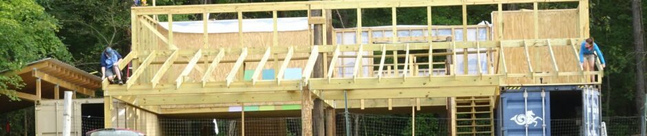
3. Layout: A community layout plan is under development by P&D to indicate rough building placements, massing, and orientations within and across lots. Each lot may be built to include a total of five bedrooms, either in a single large shared house, or a main house with several attached studios (without full kitchens), or up to a three-bedroom house plus a two-bedroom ADU (Auxiliary Dwelling Unit), either attached or detached. ADUs cannot exceed half the size of the main house. Proposed site/house plans providing fewer than five bedrooms must be readily expandable, if desired later, up to the maximum five allowed. On-site parking will be limited to two cars.
4. Individual or Standard Plan. Members may design their homes and contract with builders individually if they so choose, or arrange with other like-minded members to use standard plans and/or share a contractor, saving money and time and mindspace. P&D is working on a potential Standard Plan based on architect Jonathan Lucas’s 2BR House design for the original village plan, here. Some other variations will likely also be offered. Parties interested in the Standard Plan and/or shared arrangements should identify themselves soon (to and in Grounders Working Group).
5. Detailed design guidelines (draft) have been developed by P&D, including material and ecological considerations, modest size, DIY capacity, climate-change anticipatory adaptation, overall harmony and coherence, accessibility, and affordability. Go here to view them. Some common elements and features will be required. These Guidelines are primarily for designs other than the Standard Plan (which should automatically qualify). The aim is to align village architecture and the structure, function, and feel of the village as a whole with our Principles and Intentions and other values, while encouraging individual creativity and variety within those conditions. All design intentions should be framed as proposals to P&D’s Design Subcircle referring to the P&I and other Guidelines.